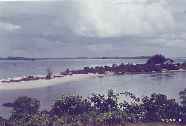
Photo 1 is a 1960’s photo of Changi Creek courtesy of Allan MacKinnon @ Memories of Singapore.

Photo 2 is a photo I took while exploring the Changi Board Walk last year.

To help you make sense of some of the discussion in Peter's earlier post, here is a scan from a very tiny electoral divisions map of Singapore from a 1963 street directory. Can you see the Tanah Merah Besar Road and Nicoll Drive junction? Notice the coastline and how long Nicoll Drive was.
.JPG)
Below is something from the internet. The producers have been so kind as to indicate the position of what used to Kampong Ayer Gemuruh. To help you picture the coastline in relation to the present Changi Airport, I have added a scan from the 1963 street directory below.
.JPG)
.JPG)


4 comments:
chun see
actually you should goto the roof top of the changi Hotel (the swimming pool area) and you can do an exact "PHP" of Changi Creek spit.
The Italian restaurnat is a greta place also for views of the radar site up on Biggin Hill, golf course and Changi Village. Sometimes you can catch good moments of weddings and FHM models at the pool side.
Peter. You should read Icemoon's detail investigation into your Ulu Pandan Railway story. This guy is amazing.
Noel. If you are reading this, you should recruit him into your archaelogical team.
I suggest someone should approach Eric Khoo to make a movie out of this - that "little boy" - something different from "Money Not Enough". Maybe can make it to the Cannes Film Festival.
I wonder could that 8-years old "little boy" recognize the railway bridge from its construction? Hmm ..
Post a Comment